
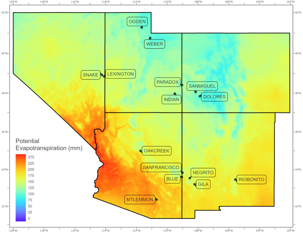
Map created in ArcGIS Pro displaying the potential evapotransportation of research sites in the Southwestern USA.
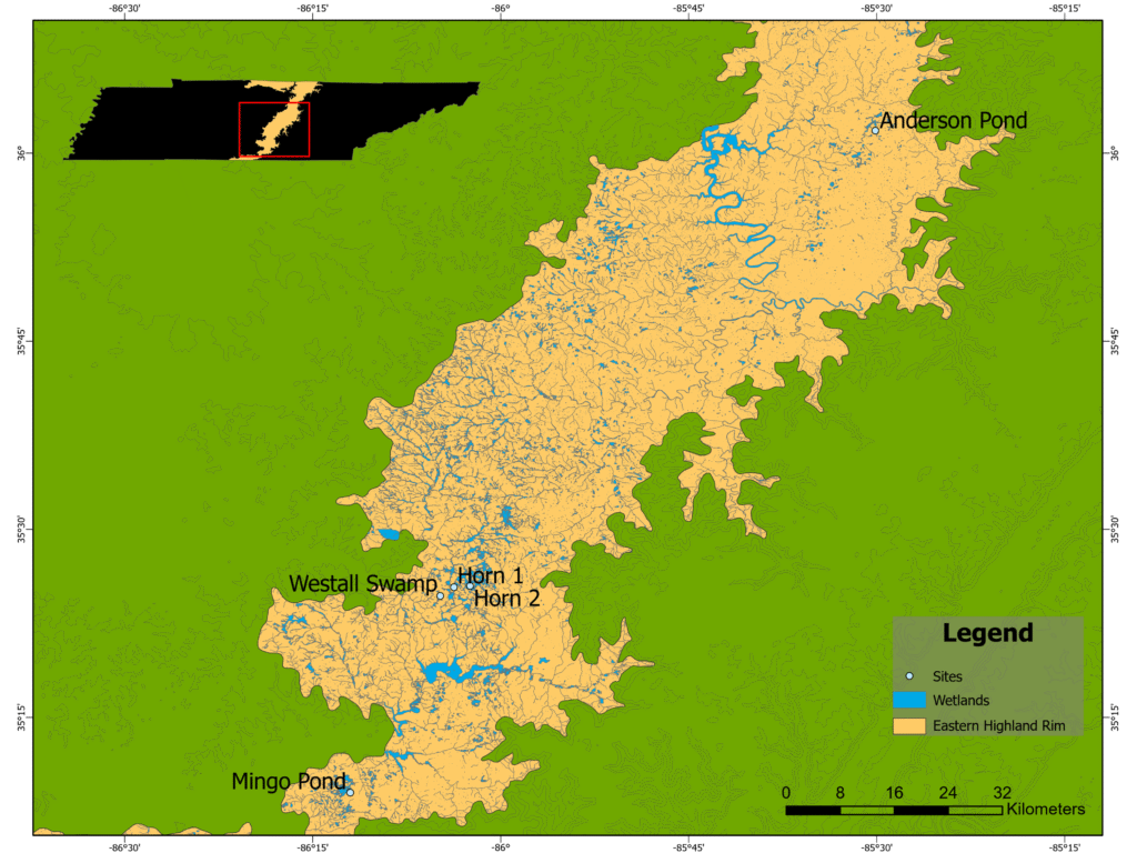
Map created in ArcGIS Pro displaying wetlands and research sites in the Eastern Highland Rim of Tennessee, USA
Map created in ArcGIS Pro displaying the potential evapotransportation of research sites in the Southwestern USA.
Map created in ArcGIS Pro displaying wetlands and research sites in the Eastern Highland Rim of Tennessee, USA